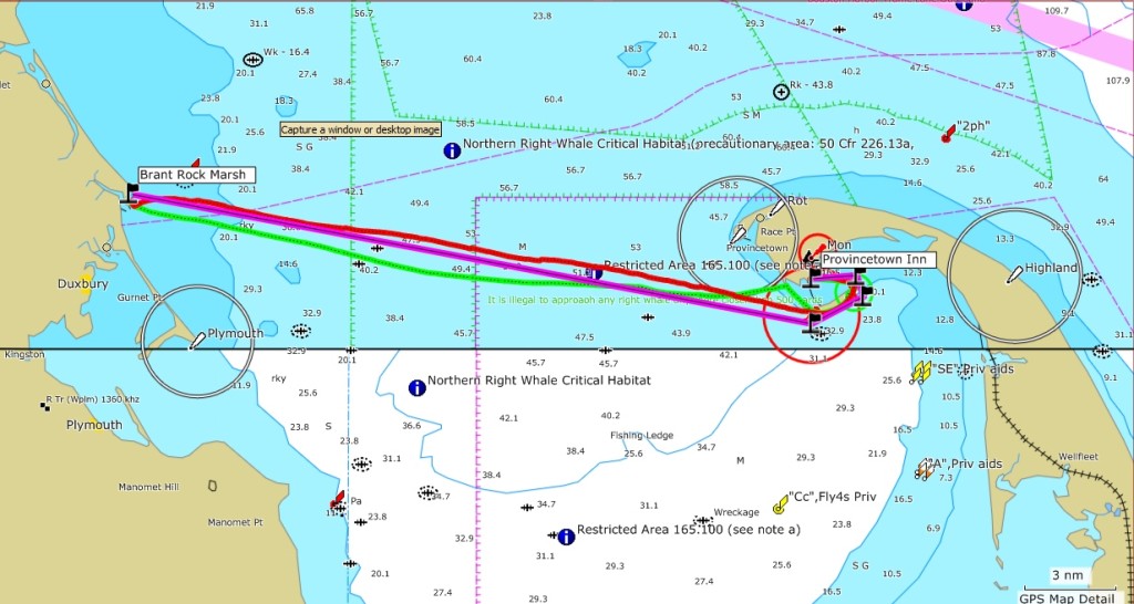
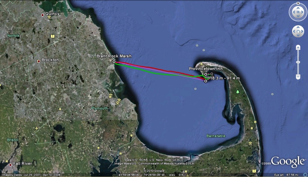
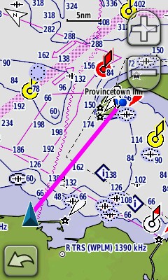
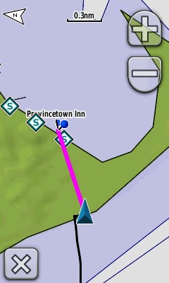
(In the map above, the line in magenta represents the planned route. The green line represents my outgoing track and the red line the returning track.)
My Solo Kayaking Trip to Cape Cod
Daniele Paolo Scarpazza <scarpaz@scarpaz.com>, May 2nd 2010, Revision 1.
Text and photographs (not maps) are Copyright © 2010,
Daniele Paolo Scarpazza. All rights reserved.
Maps reported here
are copyright of the respective owners; the author believes he is
using them without permission under the provisions of the fair
use principle. Copyright holders that want to challenge this use
please write me.
This page is still aperiodically subject to improvements and additions.
(In the map above, the line in magenta represents the planned route. The green line represents my outgoing track and the red line the returning track.)
Click here to view the full gallery with all the images and no commentary.
Click on any image below to enlarge it.
Summary
On Friday, April 30th 2010, I crossed the Cape Cod bay from Brant Rock Marsh to Provincetown in my kayak. On the following day, I crossed it in the other direction. Each trip covered a distance of more than 24 nautical miles and took approximately 8 hours of paddling. This is my travel notebook. I hope it will be useful to fellow kayakers that would like to plan a similar trip, and a pleasant reading to anyone who loves going by sea.
Dedication
This trip is dedicated to all the people who told me not to take it. I'm glad I didn't listen to them.
Thanks
I thank primarily my friend Patricia, who accepted the unpleasant task of being my emergency contact. This basically consisted in waiting and worrying: something that nobody can enjoy doing. I also want to thank Pine duBois and Alex Mansfield of the Jones River Landing in Kingston, MA, for providing crucial information on the selection of the launch point. Thanks also go to Al Johnson from the US Coast Guard First District, Boston, MA, for patiently answering my safety related questions and providing informed, qualified advice. Thanks to Marybeth Groff for her qualified advice regarding sharks in the Cape area. Last but not least, thanks to Lee Reiser and Victor Gonzalez, who basically taught me everything I know (but not enough yet!) about kayaking.
Disclaimer and Waiver - Not just legalese, please read!
If you continue reading this document, you agree to take full responsibility for any decisions or behavior of yours based on any information contained here. By accepting this agreement, you give up the right to sue me for any damage or loss you may incur while performing a trip of any kind, even one only partially based on contents reported here. Sea kayaking is a potentially dangerous activity that can result in damage or loss of property, physical harm and loss of lives. The unpredictable forces of nature involved in sea kayaking trips can overcome any preparation. You should be fully aware of all the risks involved in any trip you undertake, and plan countermeasures accordingly, including appropriate training, equipment, and emergency arrangements. You should not undertake a kayaking trip if you can't swim. You should never undertake a solo trip if you can't perform self rescues with consistent success.
The ocean water is cold (43 degrees Fahrenheit in May 2010). Exposure to cold water can cause shock and cardiac arrest, hypothermia, inability to control your muscles and, ultimately, drowning and death. When exposed to temperatures between 40 and 50 degrees Fahrenheit without appropriate protection, exhaustion and/or unconsciousness are believed to occur within 30-60 minutes, and death is believed to occur within 1-3 hours. It is your responsibility to minimize the risk, the duration and the effects of body exposure to cold water.
Sharks, including specimens of the great white species, have been sighted in the Cape Cod bay, especially in late summer, when the seal population, on which they prey, is significant in the area. Although there are no reports of shark attacks on kayakers in the bay, the risk is not completely absent. It is your responsibility to minimize the risk of undesired contacts with sharks by arranging your trips when the water temperature is believed to be uncomfortable for sharks, and avoid mixing with seals.
Underestimating the time en route for a trip may lead to paddling after sunset. Paddling in the dark presents additional risks and dangers, including the decreased visibility, the higher chance of collision against motor vessels and the higher difficulties of being found in case of rescue. Lighting can only partially mitigate these risks.
This document is not intended as a guidance of any kind to plan any kind of trip, or as a training of any form. This document is not intended to provide you with a comprehensive list of risks and countermeasures. The coordinates and maps reported here are not to be trusted for navigation without independent confirmation. Equipment is never a substitute for training. Owning safety or rescue equipment is not a guarantee of being able to operate it effectively when emergency conditions occur. You are on your own; you are responsible for your own safety and health. Whatever you do, don't sue me.
Detailed preparation notes are here:
http://www.google.com/buzz/dpscarpazza/geHVZ2pCHXm/Cape-Cod-Kayaking-Trip-Notebook-Across-the-Right
Preparation
The time-insensitive part of the preparation can be done well in advance. It involves the following steps:
finding suitable accommodations where to spend the nights; at destination (Provincetown), finding an accommodation that is reachable from the beach;
finding a launch site where it is allowed for non-residents to launch and leave the car parked overnight;
deciding the launch point, the final destination and the waypoints, determining their coordinates and leg distances, acquiring maps, pre-loading this information on the GPS units;
characterizing the typical and worst-case weather, waves, winds, tidal and non-tidal currents of the area interested by the trip;
estimating bounds for the time en route including the effects of winds and currents, and physical fatigue;
estimating all the risks, including potentially dangerous marine life;
acquiring safety and redundant equipment;
agreeing with your emergency contact on the protocol to follow in case of loss of contact, i.e., after how many hours of lost communication you would like them to call the Coast Guard.
The second half of the preparation is time-sensitive and can only be performed once the dates are decided. This can not be done earlier than 3 days before the trip, i.e., when the weather forecasts are reliable. This includes:
performing a last check on all the equipment
(e.g., making sure that the rudder screws are not getting loose);
charging all the re-chargeable batteries (marine radio, cell-phone, GPS units, camera);
booking the hotel rooms;
stockpiling food and water.
Some of the results of my planning are reported below. As tidal
currents are concerned,
the the
NOAA predictions show that the maximum flood is 0.8 knots in
direction 245 degrees (true), i.e., WSW, and the maximum ebb is 0.5
knots in direction 010 degrees (true), i.e., NNE. These are non
negligible, but relatively small tidal currents, that can be dealt
with in a long trip, especially since they are basically moving
orthogonally to my direction of travel. The weather forecasts are as
follows:
Friday: W winds 15 to 20 knots, becoming NW 10 to 15 knots in
the afternoon. Seas around 2 ft.
Friday Night: W winds 5 to 10 kt,
diminishing to around 5 knots after midnight. Seas 1 to 2 ft.
Saturday: W winds around 5 knots, becoming S in the afternoon. Seas 1 foot or
less.
Saturday Night: SW winds 5 to 10 knots. Seas 1 foot or less. Patchy
fog after midnight with visibility between 1 and 3 nautical
miles.
These are good weather forecasts: the wind is in favor on Friday and
adversary (but marginal) on Saturday. Waves are tolerable on Friday,
and basically absent on Saturday. On Thursday, buoy number 44013,
which is north of Cape Cod, is measuring waves between 2.5 and 2.9 ft,
and a water temperature of 47 degrees Fahrenheit.
I called the Coast Guard in Boston to ask specifically about any dangers, including (1) shark presence, (2) cell-phone coverage, (3) compliance with the Right Whale critical habitat regulations, and (4) whale-related concerns for the kayaker's safety. The answers I got are that (1) basically there is no shark concern in April/May, (2) cell coverage is probably going to be available for the entire duration of the trip but it should not be relied upon, (3) still standing the requirement not to approach any whale at a distance below 1,000 yards, a kayak does not represent any significant threat to a whale, and (4) a whale could, on the other hand, represent some kind of a danger to a kayaker but there has never been a report of such an attack. I later found a piece of news reporting the death of a man who was canoeing in the ocean waters off Cape Cod. He died after his canoe came in contact with one or more whales and capsized.
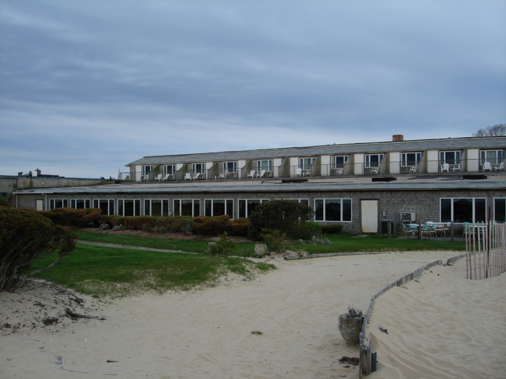
The accommodation for the night I choose is the Provincetown Inn. It has the rare advantage of being directly connected with a section of the beach. I call them, and not only they allow me to leave the kayak there overnight, but they also promise me a hand to carry it if I need.
Trip outbound.
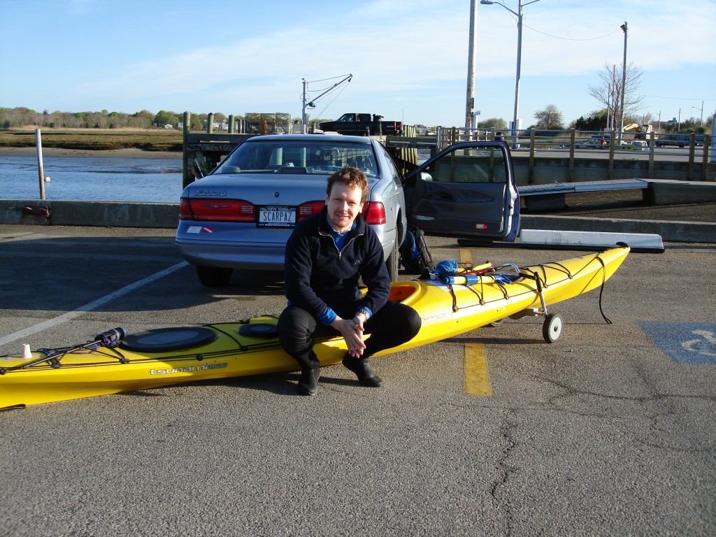
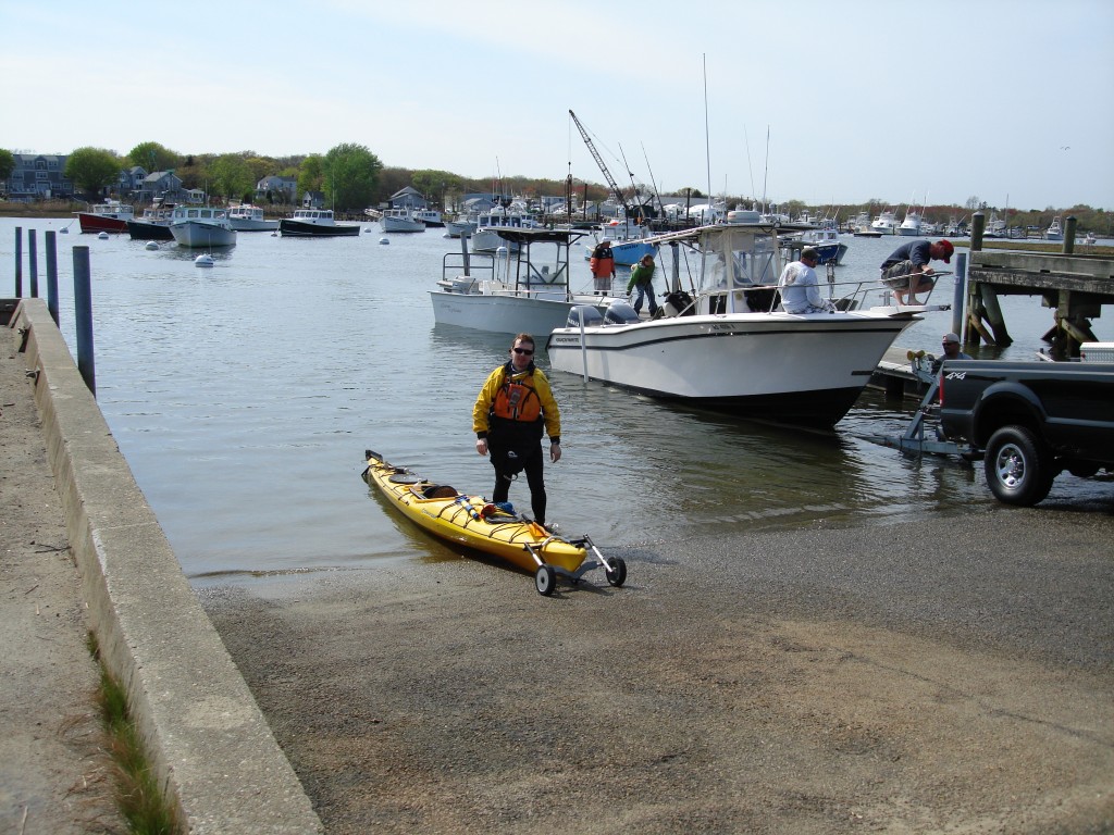
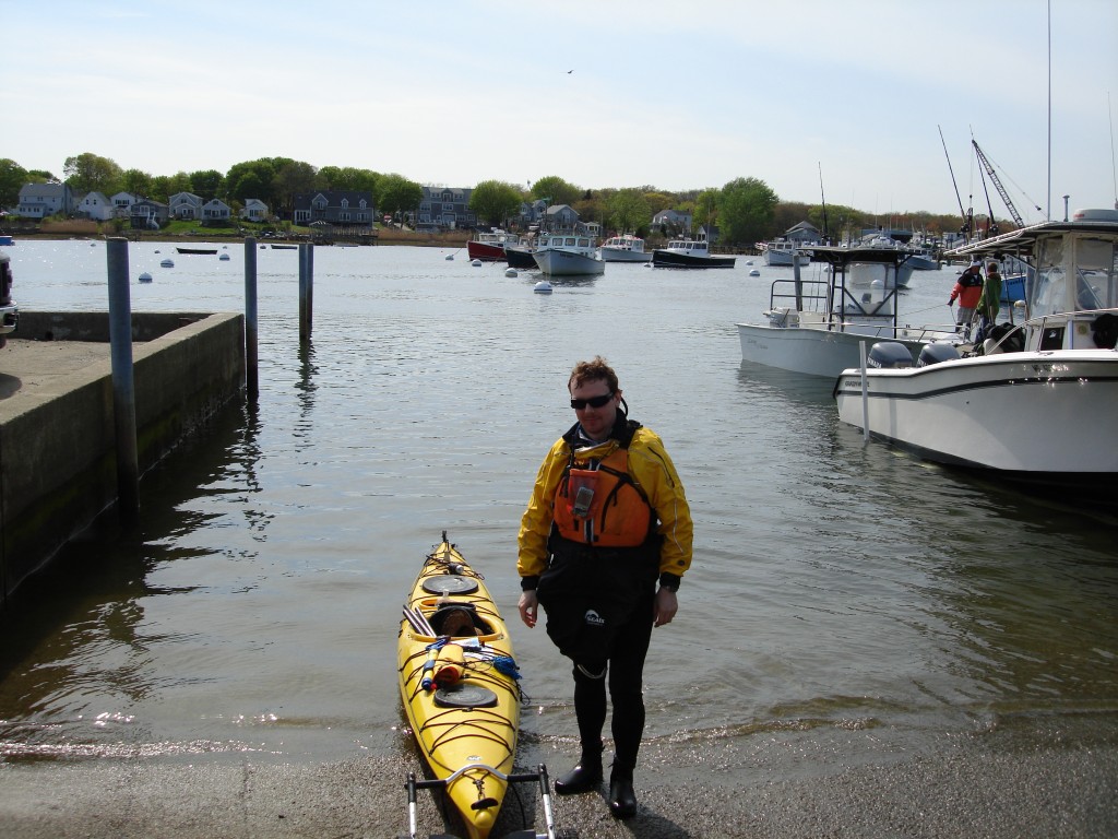
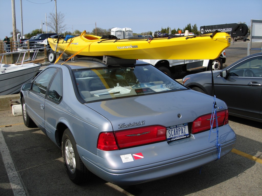
On Friday, I get to Brant Rock Marsh / Marshfield Harbor (N42.083953, W70.646322) a little after 7 AM. This is an ideal launch site because they have no launch fees for kayaks (provided that your car fits a single space), they don't mind you leaving the car overnight, and they allow non-residents.
I chat with a couple of nice senior citizens. One of them tells me verbatim that I have a lot of balls for doing what I am doing, which feels nice to hear. But he also tells me something I would prefer not to hear about: he warns me about potential northbound currents close to shore in Provincetown, currents that might shoot me toward the open ocean. This does not agree with any of the other sources I consulted. The thought does not make me comfortable. Note to self: head to the southernmost point of the shore when I can. I hope he's wrong.
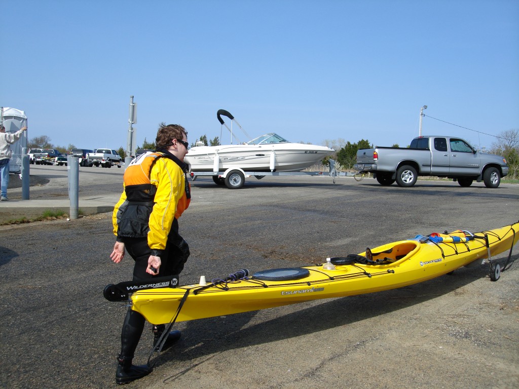
It's windy, and it is cold even with two Techwick shirts, a sweater and the spray shirt. I don't want to pile up any more clothes, because it's going to get a lot warmer later, and I'm not sure the sea conditions will allow me to peel off any layer in the middle of the bay. I transfer everything I need from the car onto the kayak and I make sure all the hatches are well sealed.
At 7:18 I am in the water. I paddle to the outlet of the harbor, through a number of vessels anchored.
In fifteen minute I leave the rock jetties that protect the harbor's inlet and I set my course to Provincetown (100° true). I rely on my GPS unit to keep myself heading to the right direction. Looking at my right, I can see the bay forming the western arm of it's U-like shape. I can't see the other arm. I can't see my destination. I thought that the feeling of navigating entirely by charts would frighten me a lot, and I remember losing an hour of sleep precisely on that scary thought the night before my first trip across Long Island. It's not the case this time: I feel relaxed. The GPS shows a direct distance to destination of 20.4 nautical miles. I know it's going to be more than that, because I need to double Long Point. The full distance will be more: 24.4 miles. But it's reassuring to think I'll meet some land four miles earlier than that.
The waves are negligible at first. I am keeping an average of 4 knots. The wind blows from SE between 10 and 15 knots. I have the clear impression that the wind is helping me, maybe by giving me an additional half knot. The first five miles pass quickly: I keep my GPS unit on the compass screen, with the following four data fields displayed: speed, distance to destination, estimated time en route, estimated time at destination. I keep an eye on the distance field, looking at the decreasing digits. The first five miles pass so quickly that I barely remember seeing their figures.
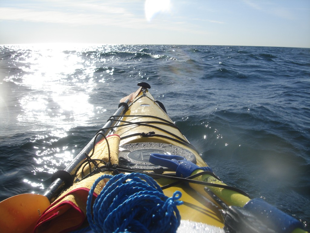
Approximately after the fifth mile, waves pick up. First, my kayak starts moving up and down a lot, then my speed starts varying from 2.5 to 6 knots within seconds, which is anomalous. Then, the waves announce themselves with a cold slap on my back. I get an adrenaline rush. Some of the water filters through my spray skirt and puts my in a very alert state of mind. Among waves, speed allows you to stay in control, so I start paddling more strenuously. I also have to use the rudder a lot to keep the boat on its course. The wind blows strong, and the water is black. Not green, not blue: just black and white. I feel alive, I think that this is precisely what I came here for.
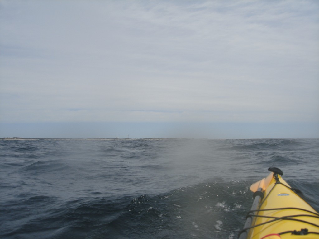
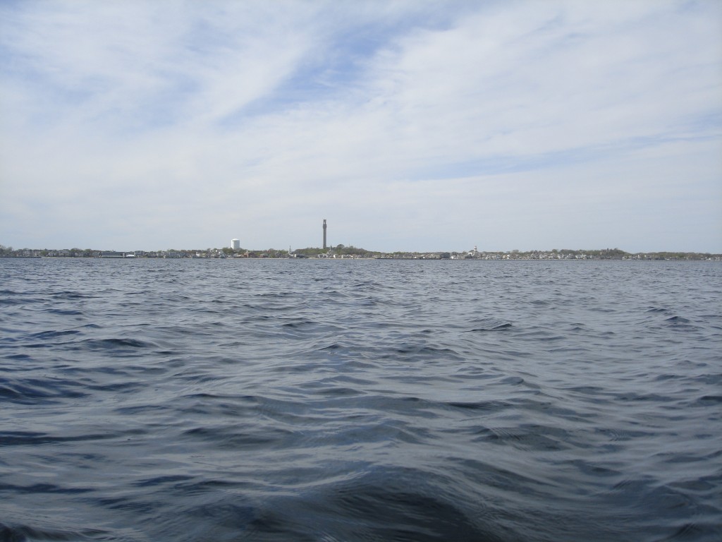
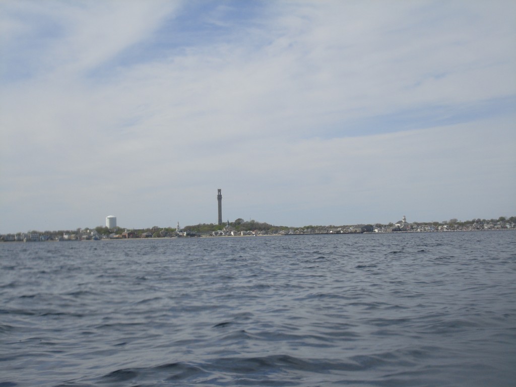
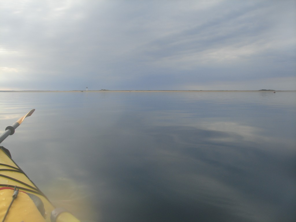
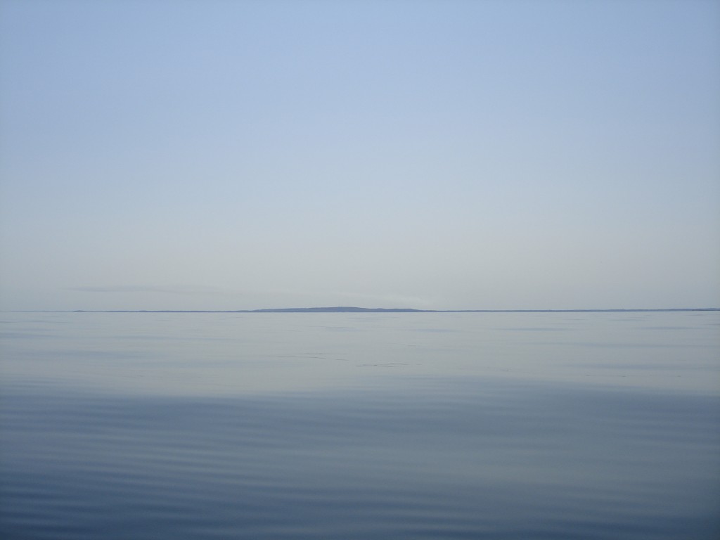
At approximately 9 AM, I start seeing a small dot on the horizon. It's so small that it could be anything, like a boat or a buoy. It will turn out to be the Provincetown tower, and it will serve as a wonderful visual reference for the later part of the trip. But I won't trust it till I'm completely sure what it is: I can't afford to use a motorboat as a visual reference: motorboats start speeding away, all of a sudden and can be terribly misleading.
I keep checking my cell-phone reception. Except for a only few dark windows of just minutes, AT&T will have two bars for the entire duration of the trip, even in the middle of the bay. But I don't know this the first time that my cell phone gives me the “no coverage” beep. At that time, I feel for the first time that I am truly on my own.
I eat a couple of protein bars and drink some water.
The waves are approximately a meter tall from peak to bottom; they are totally manageable, but they are making me seasick. A strong sense of nausea is building up. I would probably be hungry if I weren't nauseated. Also, I need to relieve my bladder and change posture, but the sea is too rough to do that.
The last 8 miles to shore are interminable. I am really tired. My body is aching, I really need to unload water, and I can't really stretch more to be in an efficient posture. Were this not enough, the nausea is dulling my senses. I feel really uncomfortable. I think that if I have to go through the same kind of sea conditions tomorrow, I'd rather cancel the trip back.
When the distance to destination falls below 10 miles, the GPS starts showing two decimal digits: I get a little fixated on that countdown, looking at those digits that don't decrease quickly enough.
At midday, four miles away from shore I remember the warning that the old man at Marshfield gave me about northbound currents to open sea and at some point I get scared. It looks like I'm seeing too much of the north-western shore of Cape Cod. Irrational fears take the better, I sort of panic, and I head south. Then I look at the map with my track: there is no evidence of cross currents, at all. I correct my track and head to the closest shore.
A mile away from the shore, the excitement for the imminent landing takes over. I can forget about distances and speed, forget the GPS, and just paddle forward and enjoy in my mind the feeling of laying down on the beach and stretching my legs before it happens.
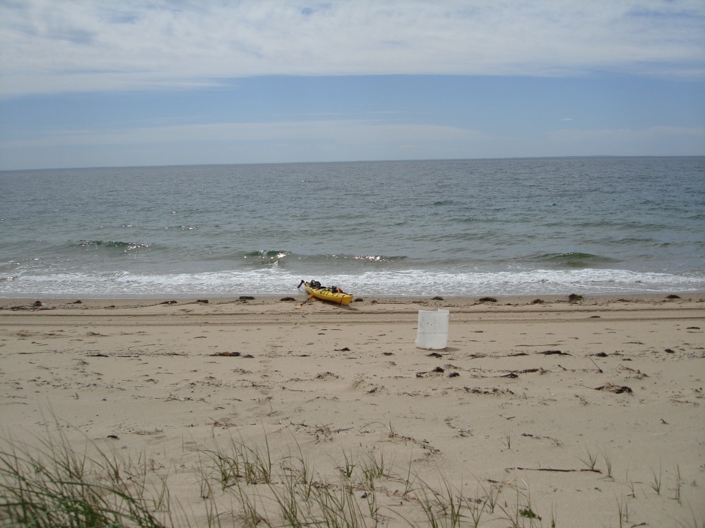
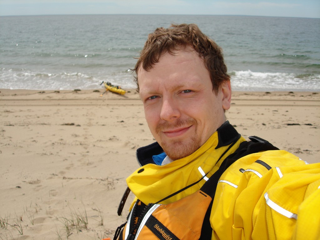
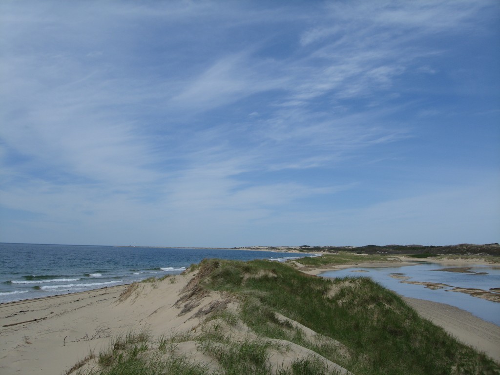
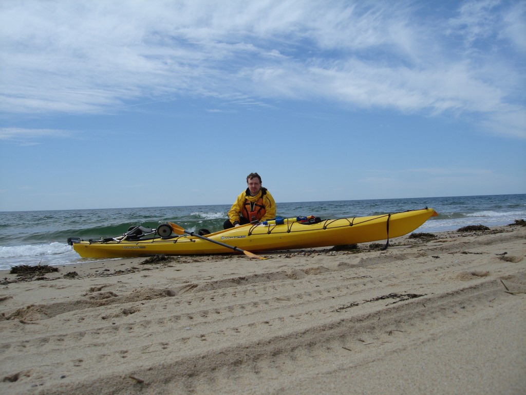
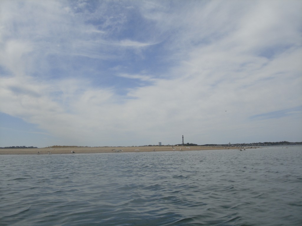
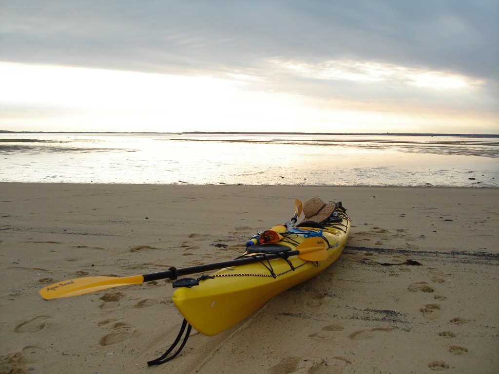
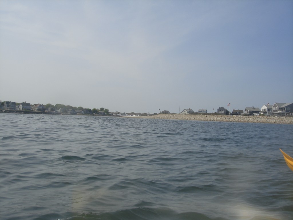
Finally, at 1:20 PM I land. I push a last sprint to gain speed and thrust the kayak onto the sand. I step out. I pull the kayak away from the line where the surf breaks. I climb to the green, cane-like bushes on the shore, and I lay down there (N42.0346 W70.21099).
The beach is astonishingly beautiful, completely empty and swept by the wind. From the beach, I can see the sea through which I came, the Provincetown harbor, the empty beaches on the northwest where the airport is. The nausea fades away, but the intense fatigue does not. It is time to eat half of one of those huge sandwiches I brought.
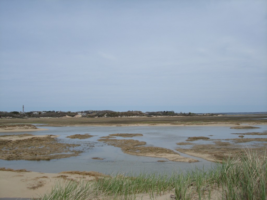
Now I have to get to my final destination, the hotel beach (N42.037951, W70.194563), which is four more miles of paddling away. In a direct line, it would be less than a mile east. Looking east of my landing point, there is marsh land, and some water. I consider the idea of a shortcut: carrying the kayak across the beach into those waters, and attempting to paddle directly to destination. I discard the idea: the waters in the marsh don't seem deep enough to paddle, and the terrain I have to cross seems too rough, and too long to drag a heavy kayak across. I give up: I'll have to paddle the remaining four miles.
I leave at 1:48 PM. I don't find it easy: the waves crash into the beach strongly, and they push my boat sideways before I can gain distance from the shore. It takes me a few attempts to be back in control and in (more) stable water.
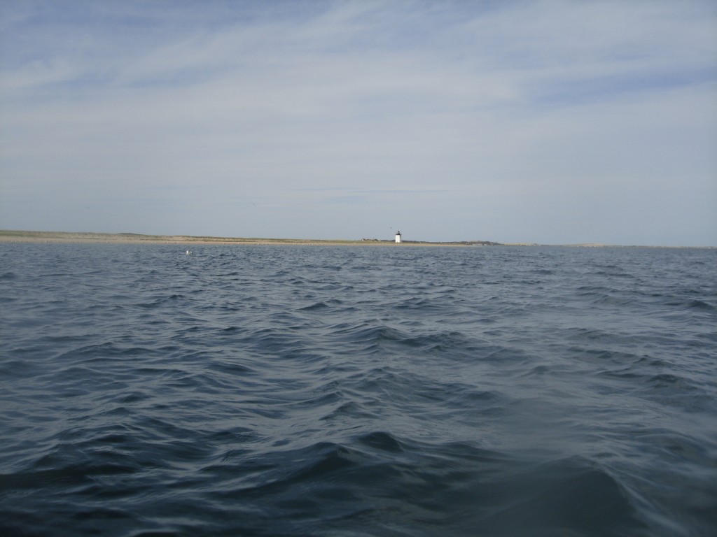
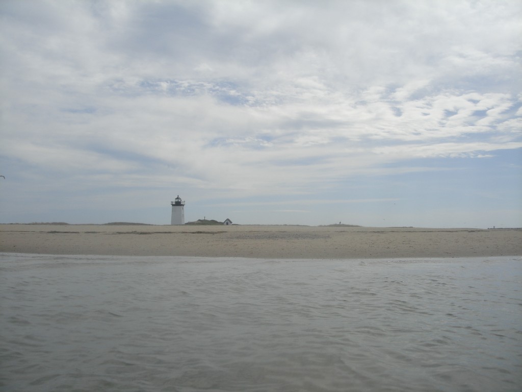
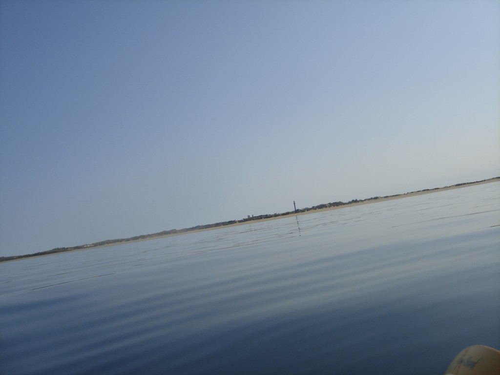
I'll follow the shape of the beach going south, and then east, and then I'll paddle north-west to the beach. A first, short, white lighthouse appears at my left, and I slowly pass it. I keep paddling with my last energies. The beach has no distinctive traits that allow me to measure my progress and, at some point, I see the lighthouse again. I think I'm getting spatially disoriented, and after almost an hour I'm back to the place where I was. Maybe a strong current to north-west has pushed me back, without me noticing. A part of me is panicking, believing that I'm disoriented, I have experienced strong currents without noticing them at all, and I won't be able to overcome them and get to destination. A part of me is thinking that it's impossible, I have continuously been leaving shore behind at my left, and there must be two distinct lighthouses. The GPS map only shows one. Maybe I'm right, maybe there are two lighthouses, and the second lighthouse is not active anymore and they removed it from the maps.
Puzzled beyond comfort, I land again at 2:47 PM. I even attempt to drag the kayak across the sand banks, but it's a futile attempt. I can't climb sand dunes and vegetation while dragging a fully loaded 16.5-foot kayak. I feel exhausted. But I think I must be going in the right direction.
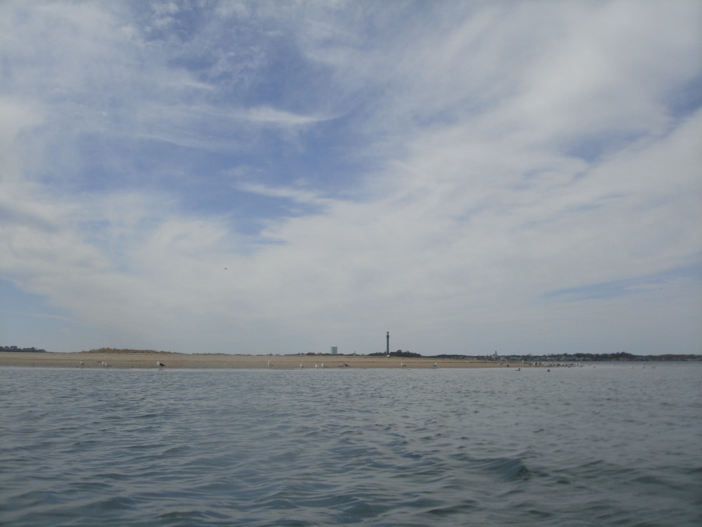
Indeed, I was right. I double Long Point and I'm now in the Provincetown bay. There are indeed two lighthouses: the Wood End lighthouse and the Long Point one. They are outrageously similar to each other, and from the sea, if you are barely sitting on water, you can't see both at the same time because the dunes hide them. This, together with the fact that the GPS map only reported one, conjured to confuse me.
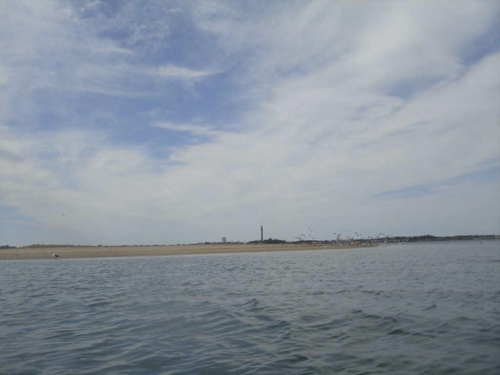
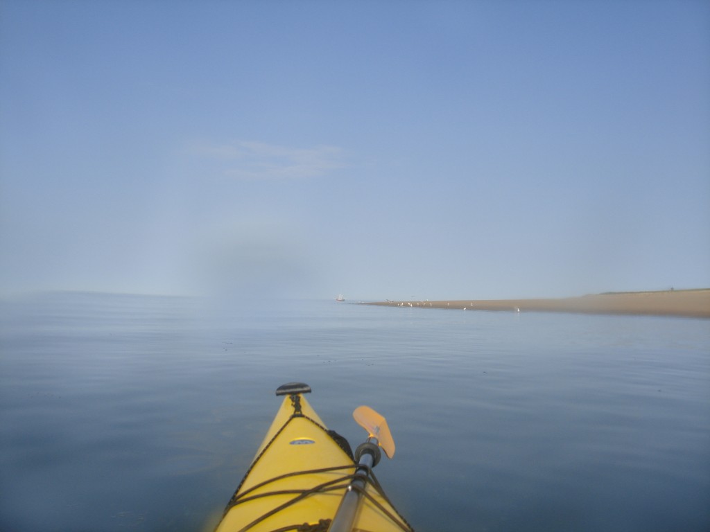
Long Point is covered in birds. I believe it's seagulls and quails. As I approach, all the quails flock away noisily, while the seagulls stay, unscared, all looking at me as I pass by, with something that looks to me as a serious, daring, proud expression.
The last mile is dominated by the reassuring feeling that I'll be enjoying a warm shower and the comfort of clean sheets soon. From the water I recognize the shape of the hotel, and the beach that I chose in the satellite view as the place where I wanted to land.
I land at the hotel's beach at 3:30 PM. I have been en route for 8 hours and 14 minutes and paddled a total of 24.4 nautical miles (28.1 statute miles, 45.2 kilometers). Once the two land stops are excluded, I have paddled for 7 hours and 42 minutes, at an average speed of 3.17 knots (3.65 miles per hour, 5.87 kilometers per hour).
The night
Before landing at Herring Beach, my thought, mostly conditioned by the intense nausea and back discomfort, was that I wouldn't want to take the return trip. If I had to endure similar conditions, in addition to adversary winds, I'd rather not even attempt it.
I take a restoring nap from about 5 to almost 9 PM. I wake up and I move my limbs in an search for signs of severe ache or soreness. Surprisingly, I find none. I actually feel pretty well. From the physical point of view, I feel like I can paddle my way back to Brant Rock tomorrow. I decide I'm keeping my options open: I just want to check the weather.
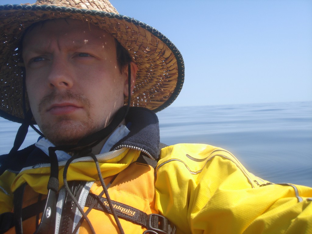
I feel like walking downtown. I get a map from the hotel reception, determined to take a walk downtown. I see that the Coast Guard is on the way: there is no better place to inquire about the weather. The main gate is open, the building that looks like a command center has lights on. I walk to the entrance, but the door is locked. I knock on the window of an operations room, where two young officers are monitoring an array of LCD displays. A serviceman walks to the doors, opens it up to come out, with the clear intent of not allowing me inside, and looking like he's scared as hell (is my uncombed hair that bad?), and asks me what I'm there for. I tell him that I'd like to know the most up-to-date forecasts for winds and waves in the region. He comes back after a minute, getting out of the building and locking the door behind him. He tells me the same conditions as forecasted two days earlier: winds from SW below 5 knots, waves 1 foot or less. This is truly weatherman parlance to mean that there's going to be so little wind that we can barely measure it, and there are going to be no waves at all. These are impressively good forecasts. Everything is aligning to allow me a safe trip back. He tells me to be careful. I reply that it's what I'm trying to do, but I think that if I truly were, I really would not be there in the first place. As I walk through Provincetown with a jumbo-size fudge ice-cream that is probably 2,000 calories and that I would frown upon in any other circumstance, I decide that yes, I'm paddling back tomorrow. It's the kind of the decisions that you take with an accelerated heart beat. I think that if somebody took a picture of my face right now, I would probably look serious like I've never been in my life.
The return
I wake up at 6 AM, and start collecting all my belongings from the hotel room. As per the advice of a hotel associate, I brought almost all my equipment, including the paddles and the pump, into my hotel room for the night. I hope I didn't make too much of a mess with sand and dirt. My breakfast is an energy bar. There's a coffeemaker in the hotel room, but coffee might cause unexpected bowel behavior when I'll be at sea. I decide I feel awake enough, and the risk is simply not worth the benefit. I make sure I didn't forget anything in my room, I fully load my kayak and I am ready to leave.
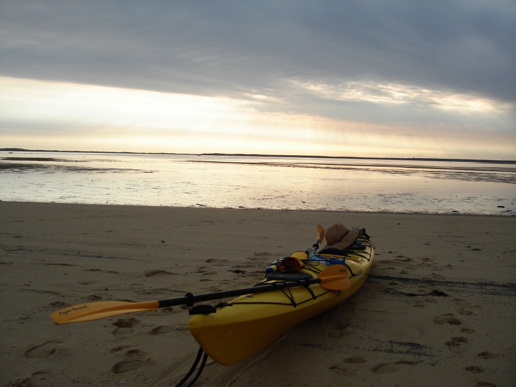
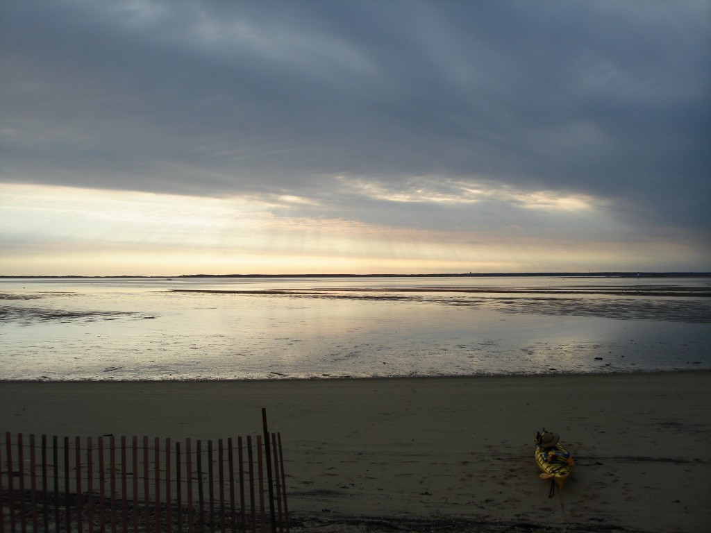
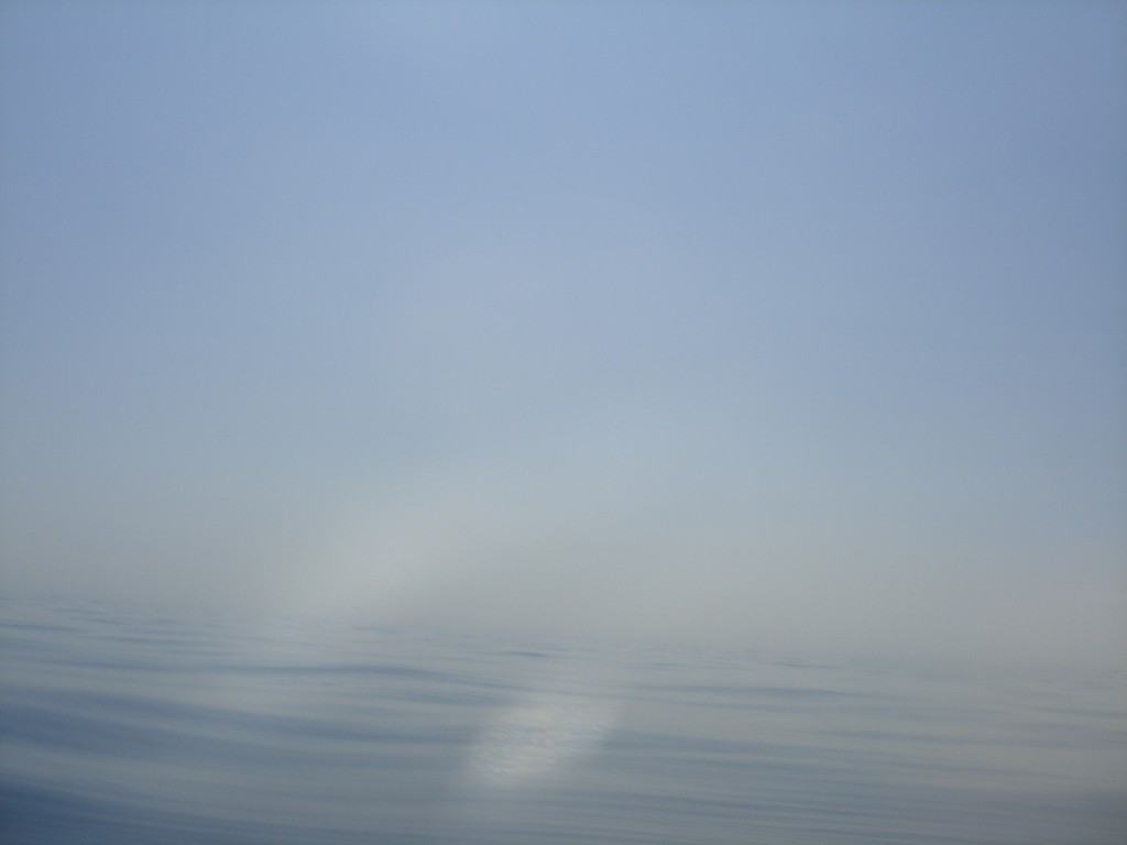
I drag the kayak back from the hotel grass to the beach. The town is completely silent. The sky is simply gorgeous. There's a layer of gray clouds through which shy morning sunbeams shine, showing a visible path. I find that beautiful. I take a picture, making sure that the effect appears in the shot.
At 6:44 AM I am ready to launch, and I get an unpleasant surprise: the tide is at its lowest. Where yesterday night was deep (enough) water, today there's a long long wet sandy beach, with a few-inch thick layer of water here and there. This is something I didn't plan for. I try to paddle through this water but I fail: as soon as I'm in the kayak, the draft increases enough to touch the sandy bottom, and the boat gets stuck. I have to carry the boat with me for two hundred yards. It's quite a warm-up exercise.
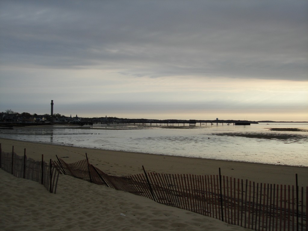
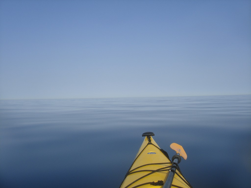
At 7:15 I am paddling. The water in the bay is mirror-like. I can see the shape of the clouds in the water, and the Provincetown tower and buildings stand on their perfect reflections in the water.
In 30 minutes I'm ready to turn right and circumnavigate Long Point. At 8:12 AM, after three nautical miles of paddling, my course is tangent to the round shape of Wood End beach. I detach from the shore to follow a 280° (true) course back to Brant Rock. A new countdown from 20 nautical miles begins. The thought that I have already completed almost a fifth of my entire trip is comforting.
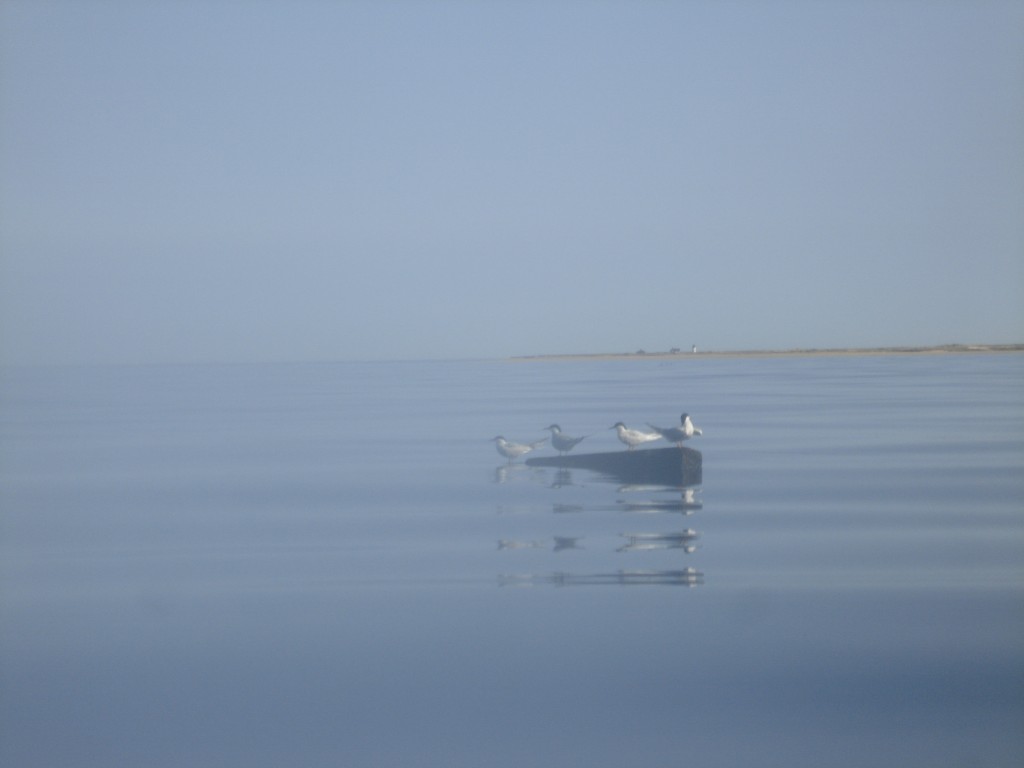
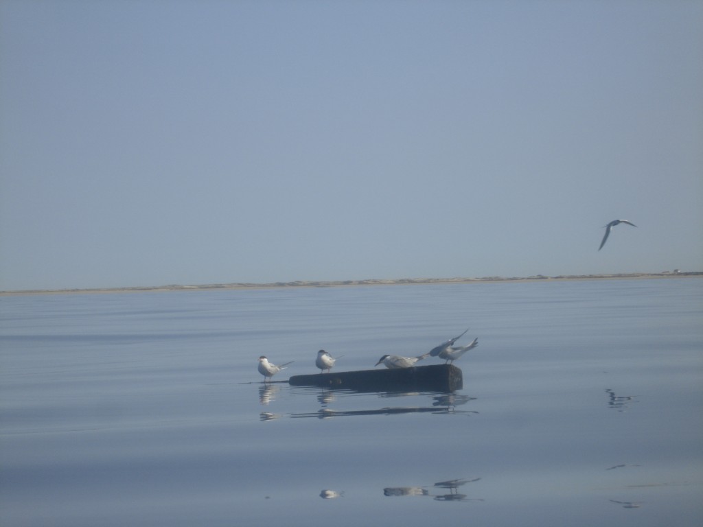
The sea is a mirror, and the wind is negligible. I feel tired from the previous day but I feel very relieved that, if the weather keeps unchanged, at least I won't have to deal with the nausea. A few seagulls are standing on a floating piece of wood. They look like first-row spectators. There is only space for so many of them on the log, and a few others are circling around and occasionally fighting for a spot.
At 8:40 and I'm a mile away from shore. I'm running a radio check to determine whether I have sufficient transmit range to be heard by the Coast Guard (and the result is that I don't), when I see something. It is black, it has a dorsal fin, it surfaces. It sounds like it's breathing, which does not make much sense because sharks have gills and are not supposed to emit respiration-like sounds. I don't know what it is, its size is too small to justify any rushed decision. I decide that I really don't want to investigate more on this, and I sprint away at 4 knots. I later regret not to have gotten closer to the only aquatic life form I encountered in the trip.
I think that I'm actually enjoying this trip much more than I expected. Sure, I'm very tired, but the weather and the sea conditions are outstanding. Paddling becomes a regular rhythm that fosters relaxation and introspection.
Two hours later I am 6 miles away from shore. It's getting really hot and it feels like I'm in a sauna. I'm starting to take measures to fight fatigue. I think that, without waves, I don't really need the rudder in the water to keep my course, and I can gain maybe a fraction of a knot if I raise it. I pull it up, which is not too easy an operation: some sand must have gotten into the pulley when I was dragging the boat on the sand early that morning. I barely pull the rudder out of the water and I leave it there. That's enough.
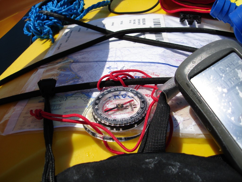
I set the compass so that I can use it as a primary course instrument, and I don't have to look at the GPS. I don't want to get into the vicious circle of being fixated on remaining distance data field, and on the distance count-down, as I did yesterday during the last 8 miles.
The rest of the trip is uneventful. I fight fatigue by changing postures frequently, and adopting unorthodox ones too. I can sacrifice some stability because there are no waves, in exchange for stretching my legs, one at a time. Whenever I switch, I manage to lean forward more easily for a while, which makes paddling more efficient and more comfortable. But I feel really, really tired. The Coast Guard makes a few announcements regarding a group of whales being sighted off the coast of Chatham, with coordinates to avoid them and instructions to steer at least 1,000 yards away from any whale, in order to minimize the risk for the animal. Chatham is far away. I was hoping to encounter some whales in my trip, I think that it's not going to happen this time.
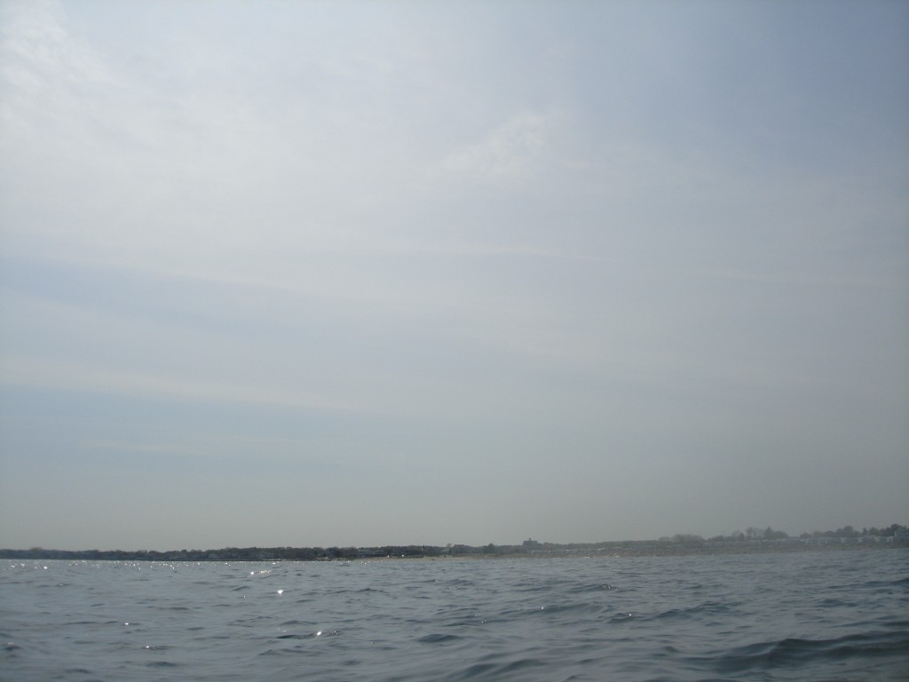
For the great part of the travel, I can't find a visual reference to lock to. Little white dots on the horizon all turn out to be boats. The closer I get to shore, the more distinctive are the features in the tree line. I try to find one visual trait in the land profile that truly corresponds to my desired course. It's hard. The closer I get to Marshfield harbor, the more also I have to deal with motor boaters: noisy, smelling like uncombusted gas, and unaware of the wakes they cause. One of them is clearly approaching in a way that is going to cross my trajectory. He has plenty of time to realize where I'm headed to, and at which speed. Still, he crosses in front on me at a short distance and high speed. Courtesy is a rare item.
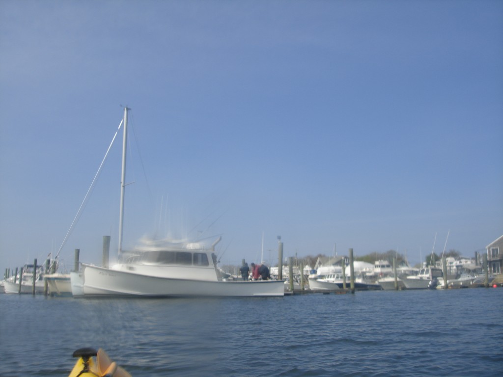
The harbor shape looks unfamiliar from the sea, and I really can't recognize the inlet. It's 3:20 PM, I am less than a mile away from the landing point, and I can't see where the harbor inlet is. I'm aiming at the point where the GPS map shows that the inlet is, but I didn't set a waypoint there; I should have. I rely on the boat traffic to find out where the two jetties that protect the inlet are, and which is which. From my point of view they form a single, indistinct line. One large vessel coming in aligns itself with the inlet, slowing down visibly and entering. That's enough: it covers the far jetty, and it passes behind the near one. That's going to be my turn point. I slowly paddle through the harbor, which is much more frequented now that it was yesterday morning early. Most people are coming back from fishing trips.
I am done. On my way back I have paddled 24.3 nautical miles (28.0 statute miles, 45.0 kilometers) in 8 hours and 43 minutes, at an average of 2.77 knots (3.19 miles per hour, 5.13 kilometers per hour).
Useful conclusions
A solo kayaking trip across Cape Cod in fair weather and sea conditions, performed in late spring, by a kayaker in reasonably good shape with acceptable self-rescue training and appropriate self-rescue equipment seems free from significant risks.
A handheld marine radio is useful to listen to Coast Guard announcements, vessel-to-vessel traffic information and weather updates but it must not be relied upon as a means to call for rescue in case of emergency. Handheld marine radios don't have the necessary transmit range to contact anybody in the vicinity. I have not successfully completely one radio check with any vessel in the area.
On the other hand, a regular cell-phone proved to be a surprisingly reliable means of communication for safety and rescue purposes in the area and circumstances of this trip. A fully-charged cell-phone enclosed in a floating dry-bag was sufficient to ensure contact with land for the vast majority of the trip with an acceptable network coverage (2 bars, AT&T). I was able to operate my phone within its dry-bag in safety and with minimal interruption to the paddling. I could also hear the phone beeping without issues. I texted rather than calling. It's the user's responsibility to avoid engaging in unnecessary conversations in order to save energy. I would recommend redundancy: a second phone is a minor additional weight and offers increased safety.
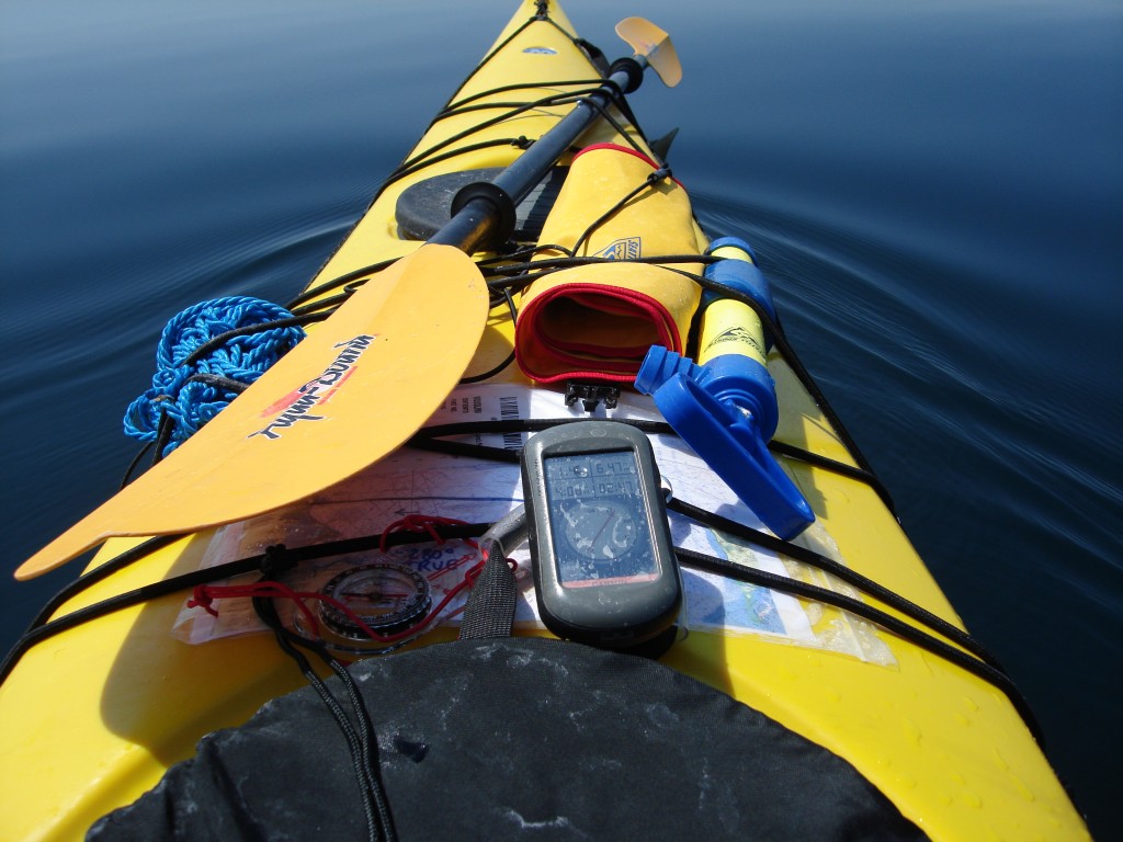
I chose GPS as my primary navigation technique. A GPS has a number of advantages with respect to charts-and-compass navigation. It does not require you to estimate your position and re-draw your course, it tells you your speed accurately, it constantly recomputes your heading to destination and your distance, no matter what currents/winds you are experiencing. Additionally, you can use a GPS unit to measure the entity and direction of the currents/winds you are subject to. Doing that is as easy as just stopping paddling for a minute and drifting away: the unit will show your drift speed and direction. Relying this much on a GPS unit creates a critical single point of failure that I want to protect myself against. For this reason, I carry a second unit (a black-and-white Garmin eTrex Vista) and, finally, a map and a regular magnetic compass. I keep my backup GPS unit in a watertight plastic bag in the day hatch, with pre-loaded coordinates and fresh batteries.
On shorter trips, I usually kayak with re-chargeable AA batteries in the GPS unit, but for this kind of circumstances, I use alkaline. Two AA alkaline batteries are sufficient to power a handheld GPS unit (Garmin Oregon 300) for 10 hours approximately, even when the unit display is kept on all the time (Backlight setting: “stays on”), provided that the backlight is kept to its minimal setting. The backlight intensity is irrelevant when the unit is used in the sun. The viewing angle makes all the difference. The unit proved to be perfectly readable in all conditions. The most significant nuisance with readability is due to the traces of salt left by seawater drops coming in contact with the surface of the screen and drying there. Passing a wet finger on the screen solves the problem, but only for a few minutes. The salt stains don't seem to damage the device, and I rinse the device in fresh water when I'm at destination. The handheld devices I have are moderately watertight, but not floating. I also carry approximately 20 more AA alkaline cells in watertight bags in case batteries drain quicker than expected. Changing batteries at sea is a relatively simple and safe operation.
For any serious, long-distance navigation I would never employ a phone with integrated GPS functions. I am not aware of any such device that has an energy behavior that I would trust. I would definitely not want to have to give up my navigation and communication at the same time because a battery is drained.

